Description
Create a Control Center for Your Entire Project on Your Phone
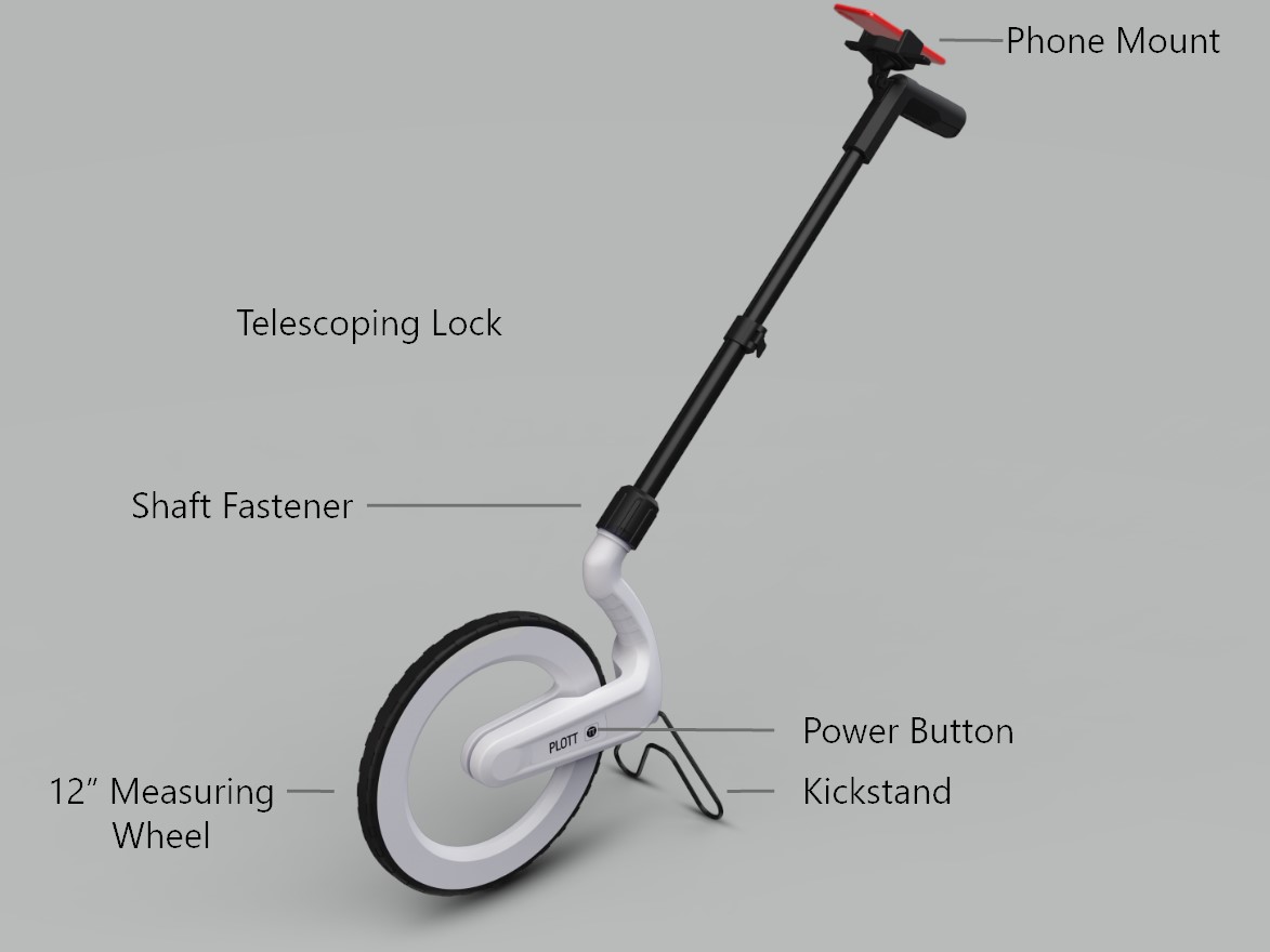
Carta and our platform enable users to bring dimensional data into a phone. Which records the path you walk over a 2D map or satellite image. Our platform allows you to map projects in real time. Measure accurately. Mark points of interest. Make notes. Including a guidance mode to take you back to marked points.


Reviews
There are no reviews yet.